Can we find a route to connect
with the next generation?

- MTI takes on the challenge of interlacing peopleand wisdom via technology
-
Advances in ICT, particularly the enhanced performance of smartphones and the latest cloud technologies, have enabled the integration of previously independent systems and data, as well as the high-speed processing of vast amounts of data. Moreover, the widespread use of AI has made it possible to develop groundbreaking and innovative services.
By combining these digital technologies with the mobile content and service development expertise we have cultivated since our founding, MTI is taking a step forward to create new innovations, evolve social systems into even more convenient forms, and enrich people’s lives.
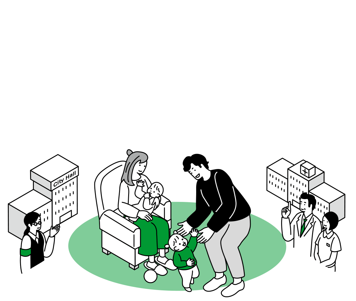
The future of parenting,
supported by technology

An approach to address the declining birthrate through an app that leverages big data to support women trying to conceive
Luna-Luna is a women’s healthcare service that can be there for women throughout their lives. With over twenty-two million downloads*1, we have leveraged big data from approximately three million people to construct our proprietary ovulation predictor algorithm. This tool provides personalized predictions for ovulation dates and fertile windows, helping women who are trying to conceive by identifying the optimal timing for conception.
Users of the paid Family Course, which utilizes our proprietary algorithm to inform them of their fertile window, have been shown to have a higher success rate in conception*2 compared to those using the free Standard Course.
In July 2024, we launched an unprecedented initiative in collaboration with the public and private sectors to support women who wish to conceive. We have entered into partnership agreements with local governments to provide the Luna-Luna Family Course free of charge to women trying to conceive or hoping to do so in the future. We are currently verifying whether our app’s support, which includes predicting fertile windows with our proprietary algorithm, sharing data with partners, providing accurate information about pregnancy and fertility, advising on the timing for transitioning to fertility treatments at medical institutions, and distributing information on local government measures and subsidies, can contribute to increasing conception and birth rates.
This initiative was first implemented in Takaoka City, Toyama Prefecture, and has since expanded to other municipalities such as Goka in Ibaraki Prefecture, and Utsunomiya in Tochigi Prefecture. It is attracting a lot of attention as an innovative approach to address the declining birth rate.
- <Municipalities providing fertility support with LunaLuna>
-
- ・July 2024: Takaoka, Toyama Prefecture
- ・August 2024: Goka, Ibaraki Prefecture
- ・October 2024: Utsunomiya, Tochigi Prefecture
- ・December 2024: Nagasu, Kumamoto Prefecture
- ・December 2024: Minamiawaji, Hyogo Prefecture
- ・January 2025: Kuwana, Mie Prefecture
- ・March 2025: Gotsu, Shimane Prefecture
- ・March 2025: Handa, Aichi Prefecture
- ・July 2025: Yaita, Tochigi Prefecture
- ・October 2025: Niigata Prefecture
- ・January 2026: Miyagi Prefecture
- ・February 2026: Komoro, Nagano Prefecture
※1:As of June 2025
※2:“The ratio of successful conceptions in relation to the sexual intercourse periodicity of users of the free and paid versions of the LunaLuna service who wished to conceive was 123% (the figures from August 2017 to August 2018) (The figures are based on in-house estimates and their accuracy is not guaranteed)”
Alleviatingthe physical and mental burden of child-rearing and co-creating the parenting society of the future with children, families and local communities
Our Boshimo maternal and child health handbook app and the Kosodate DX® service, which supports the digital transformation of municipalities’ parenting-related services, will co-create the parenting society of the future with children, families and local communities by leveraging digital technologies to resolve various regional issues.
The app lightens the load on parenting households, and alleviates their concerns, by offering push-type support in collaboration with the local communities. It provides pregnant women and children’s growth records and relevant advice, as well as information about local child-rearing assistance. The app also simplifies tasks such as filling out complex documents related to pediatric vaccinations, completing questionnaires and confirming the results of health checkups for babies and preschool children, submitting various notifications, and scheduling consultations.
In addition, by collaborating with municipalities right from the stage of submitting the official pregnancy notification—the first interaction pregnant women have with their local government—we support the creation of a system that provides assistance from the first trimester. This also eliminates the hassle of all procedures related to child rearing, digitizes various tasks, and improves the operational efficiency of municipal employees and collaborating medical institutions.
By providing services that remove all time-consuming tasks, burdens, and worries associated with raising children, we help foster communities that care for pregnant women and children’s development and prevent the isolation of parents and children. Additionally, we offer tailored support that addresses the detailed needs of child-rearing households, helping families and local communities spend more time focusing on their children.
- <Achievements in Kitakyushu, a city that utilizes our accompanied consultation service:>
-
- ・Approximately 94% of parents submitted their official pregnancy notification via the app
- ・Successfully reduced the time spent by municipal employees on work related to the official pregnancy notification by approximately 460 hours per year
Disaster prevention DX to protect people’s daily lives
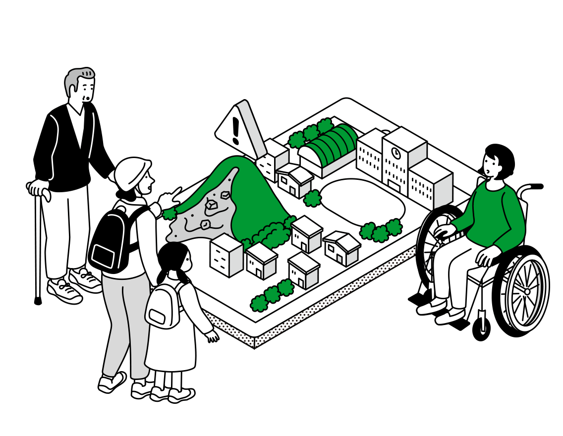
Helping to prevent disasters with our 3D digital disaster prevention map
Our digital disaster prevention map displays weather and emergency information related to disasters, hazard maps, and information about evacuation centers and infrastructure, all visualized in 3D on one map. It supports disaster prevention measures for municipalities and residents.
The map assists municipalities in tasks such as conducting disaster prevention drills and gathering and managing disaster prevention information. In the event of a disaster, real-time reports from residents—such as the current status of the affected area and evacuation center conditions—can be overlaid on hazard maps and infrastructure information. The integrated management of chronologically organized disaster information, such as damage reports and safe evacuation routes, facilitates a calm and efficient response to the disaster.
Residents can access all the disaster prevention information of their municipality through the same service. It helps them enhance their disaster preparedness by understanding the necessary steps in the event of a disaster and preparing in advance, such as identifying hazardous areas and nearby evacuation sites.
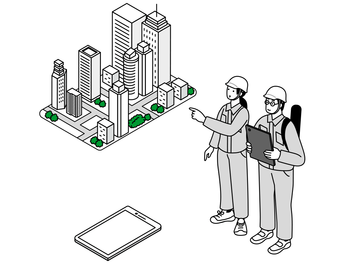
Digital infrastructure map visualizing lifeline utilities installed underground
This digital map collates geospatial data about lifelines such as electricity, gas, water, and communications, presenting them in 3D.
Integrated with data about surface buildings and terrain, the 3D display offers a comprehensive view, ranging from the outward appearance of a city to its underground infrastructure network. This map helps prevent issues during construction, such as damage to buried objects and subsidence.
It is valuable for initiatives that ensure the safety and security of underground facilities, such as the formulation of recovery plans when a disaster strikes, scheduling of piping renewals in normal times, and the provision of information to construction companies. It also supports the establishment of safety protocols for underground construction work.
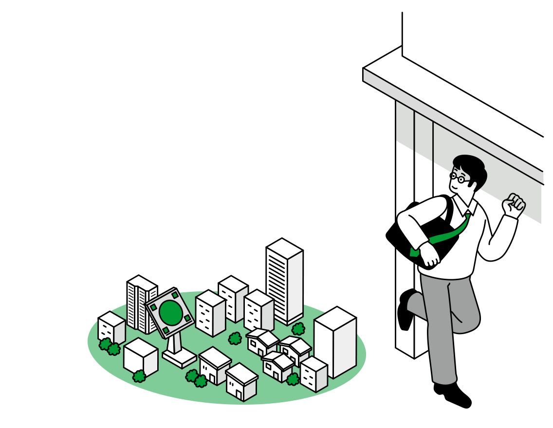
Capturing sudden outbursts of torrential rain in real time: using state-of-the-art weather radar to take evasive action
3D Amagumo Weather, our app designed to detect sudden outbursts of torrential rain, was jointly developed with the National Institute of Information and Communications Technology. It uses observation data from two advanced meteorological radars—the Multi-parameter Phased Array Radar and the MRI Advanced C-band Solid-state Polarimetric Radar—to display 3D images of rain clouds across Japan. This service predicts the possibility of sudden torrential rain, which had previously been difficult to detect, and alerts users via smartphone push alerts approximately 15 to 20 minutes before the rain is expected.
We carried out real-time verification tests of ultra-high-speed, high-performance precipitation forecasting for a period of up to 30 minutes in the Tokyo metropolitan area*3 with the Institute of Physical and Chemical Research using the supercomputer Fugaku. Additionally, we collaborated with Aioi Nissay Dowa Insurance Co., Ltd. to develop hail forecasting logic. To mitigate risks associated with increasingly frequent extreme weather events such as sudden torrential rain, we offer initiatives such as a free hail alert service*4 and provide weather support for events like the Sumida River Fireworks Festival, helping organizers determine whether conditions are safe for the event to proceed*5.
※3:Verification test held in 2021:
https://mti.asia/?p=29718
※4:Launch of the hail alert service:
https://mti.asia/?p=34729
※5:We provided support for the holding of the 40th, 41st and 46th Sumida River Fireworks Festival